Home / Projects
Real flights. Places you know.
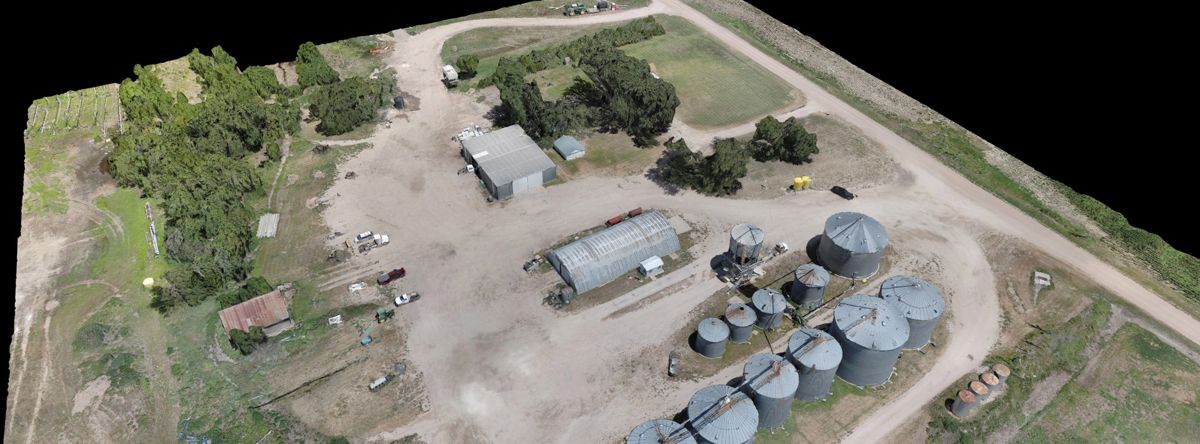
Open the maps, rotate the 3D models and look around. Everything on this page was captured on our own flights across Wichita and Kansas.
Maps you can open
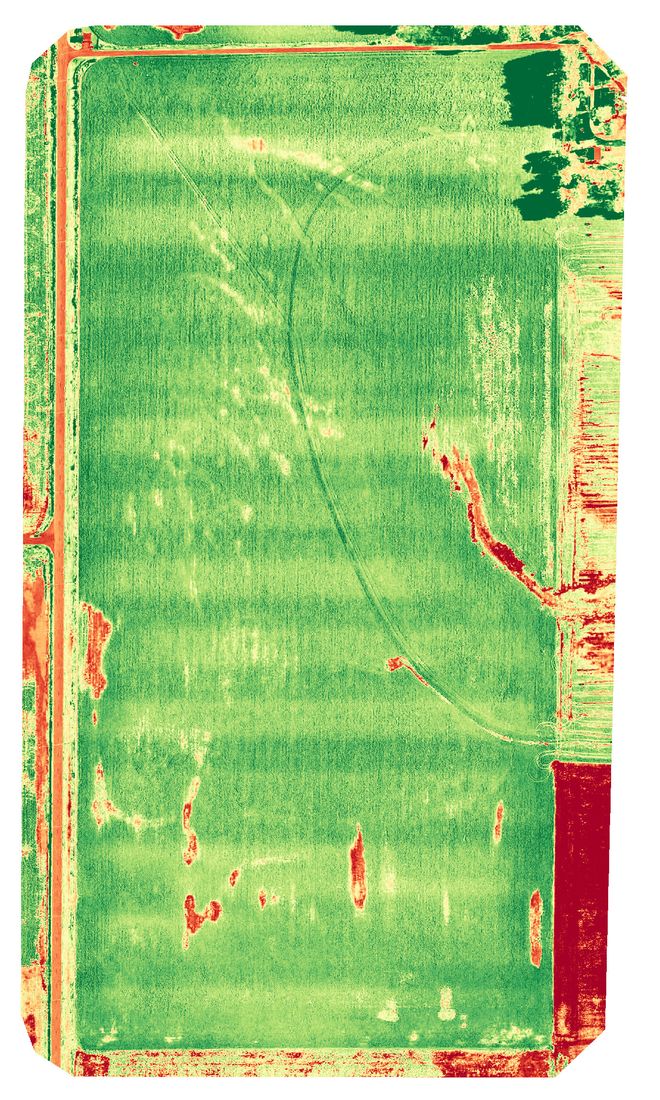
Kansas, from straight above.
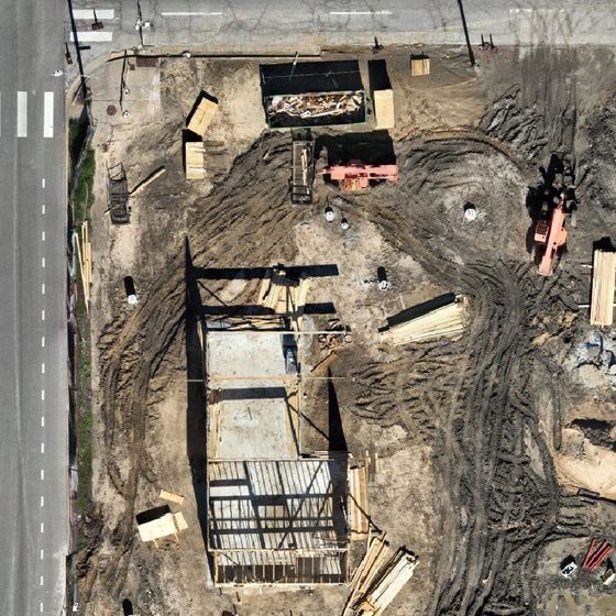
Each image is a single map assembled from hundreds of overlapping drone photos and aligned to real-world coordinates. See how many you recognize, then open one and zoom in.
Places shown are public landmarks and project sites we have flown. Appearing here does not mean the owner is a client of High Ground Aerial or endorses us.
These are reduced copies for the web. Client deliverables carry many times the detail, down to a fraction of an inch per pixel.
Scroll to zoom · drag to movePinch to zoom · drag to move
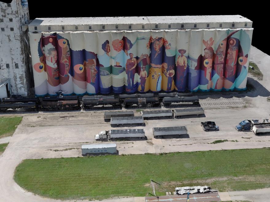
Explore a 3D model
Select a site, then rotate it with your finger or mouse.
Loading 3D model…
This model could not open on this device. Try another browser, or call 316-734-5630 and we will walk you through it.
Drag to spin · Pinch or scroll to zoom · Right-click drag to slide
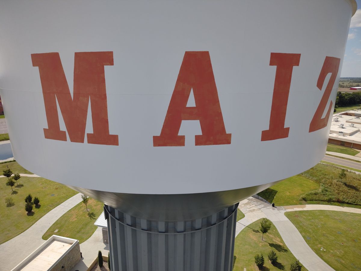
Beachner Grain Mural
Wichita · July 2026Recent imagery
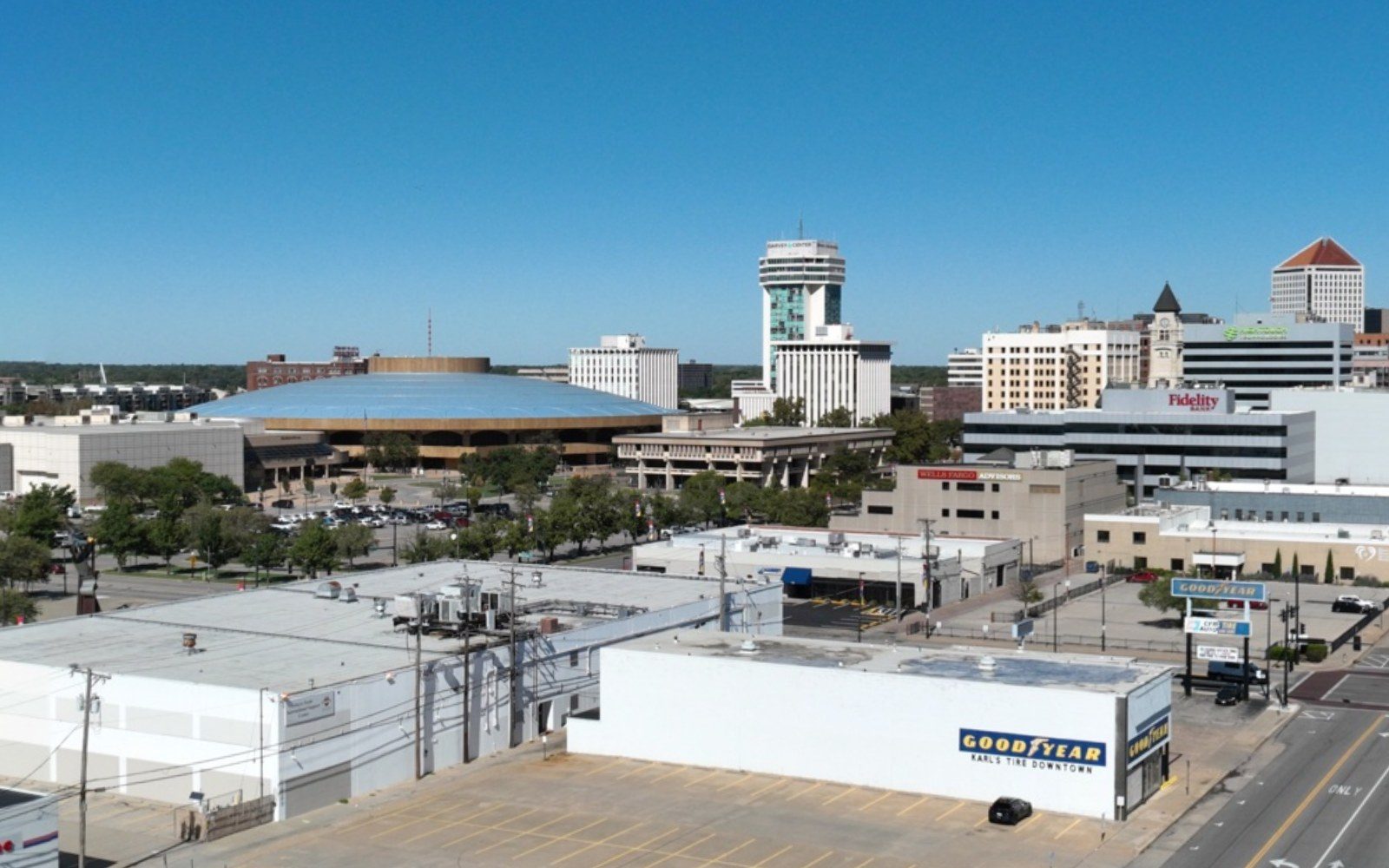
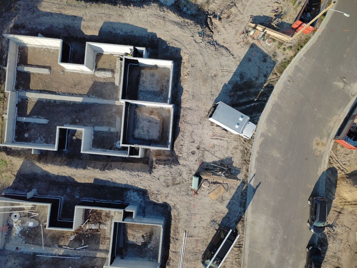
Selected stills from recent flights across Wichita and Kansas.