Field-scale aerial data processed into agronomic answers — stand counts, vegetation index maps, and management zones you can act on this season.
Field applications
A flight is only worth flying if it changes what happens next in the field. Every ag deliverable is built to support a specific decision — where to scout, where to treat, and what to replant.
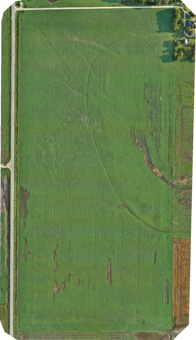
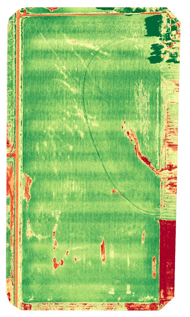
NDVI and related index maps reveal variability across a field long before it is visible from the cab — directing scouting to the acres that actually need attention.
Early-season capture documents emergence uniformity, skips, and gaps across the whole field — supporting replant decisions with data rather than windshield estimates.
Hail, wind, flood, and drought damage mapped and dated across the full field — the kind of record that supports an insurance conversation.
Processing platform
Agricultural imagery is processed in PIX4Dfields — purpose-built for field-scale analytics rather than general-purpose mapping. Outputs export in the formats your agronomist, retailer, or FMS already accepts.
NDVI and multi-index outputs generated at field scale with consistent, comparable processing between flights.
Zone delineation to support variable-rate prescriptions and targeted input placement.
GeoTIFF and shapefile outputs that import directly into common farm management and precision-ag platforms.
Send the location, what you need captured, and any deadline. You'll get a flat quote and the first available flight window.