
Plan a project
Show us where. We handle the rest.
Outline your site or fields on live satellite imagery, preview the flight plan and tell us what you need. You will have a fixed price within one business day.
01
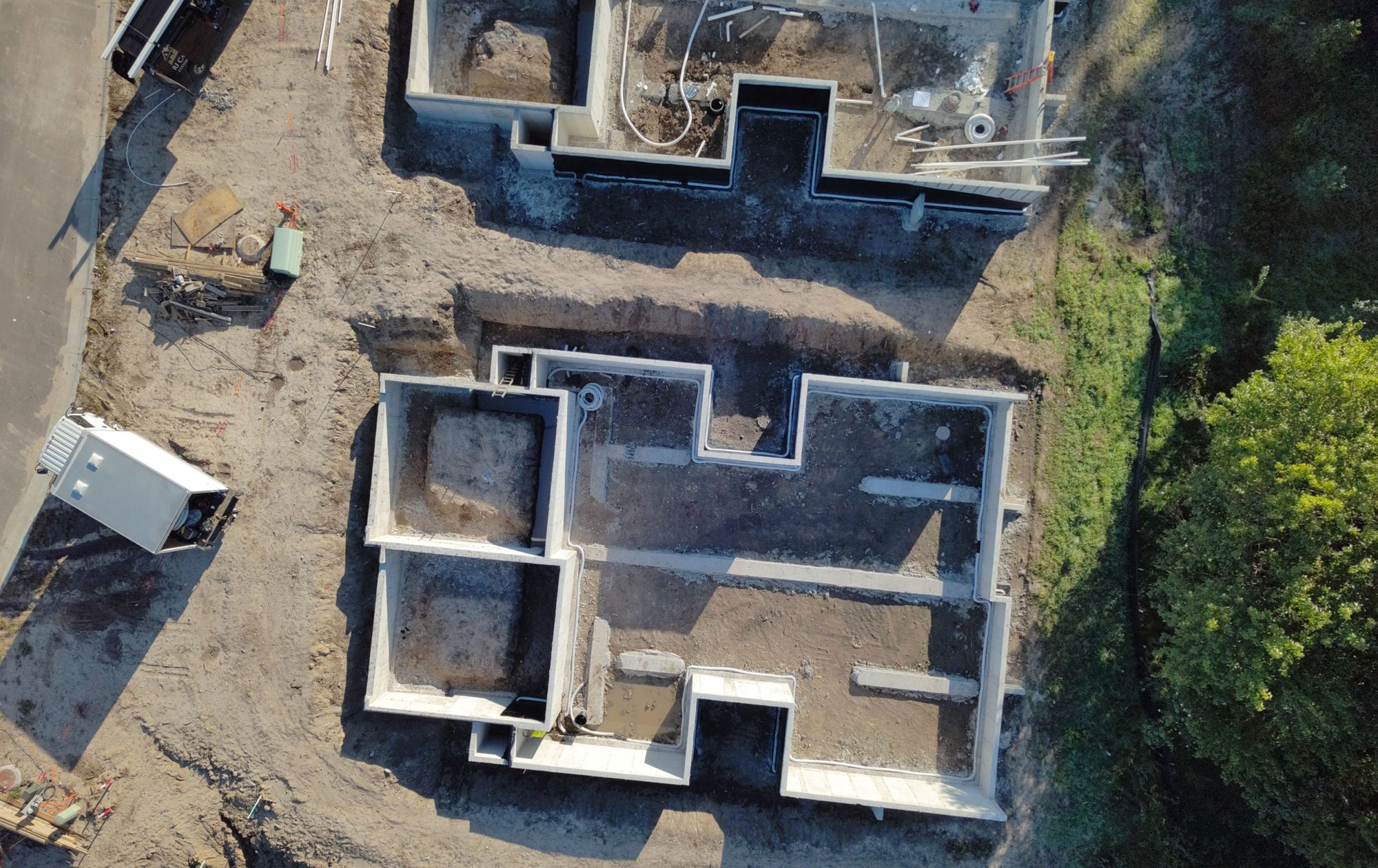
Construction and buildings
Site maps, 3D models, progress tracking, stockpile volumes, roof inspections and thermal surveys.
Outline your site02
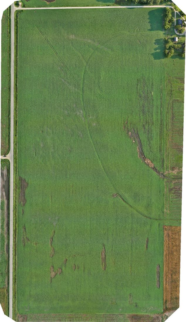
Agriculture
Crop health maps, stand counts, storm damage documentation and aerial application.
Outline your fields- 1Outline the areaAbout one minute
- 2Select your deliverablesMaps, models and inspections
- 3Receive a fixed priceWithin one business day
FAA Part 107 certified NDAA-compliant Skydio X10 FAA airspace approvals handled Wichita and across Kansas