
High Ground Aerial · Wichita, Kansas
See it all from higher ground.
Accurate site maps, 3D models, radiometric thermal imaging and progress documentation that put your entire project in one view. Serving builders, property owners, agriculture and public agencies from Wichita across Kansas.
- FAA Part 107Certificated remote pilot, with airspace authorization before every flight
- Skydio X10NDAA-compliant, American-made aircraft with radiometric thermal
- SAM.gov registeredUEI KHLXZH1G2UM3 · CAGE 1A4P1
- City of Wichita S/EBECertified small and emerging business enterprise
One flight · visual and radiometric thermal
You have seen the Keeper. Not like this.
Our Skydio X10 carries a 64-megapixel visual camera alongside a FLIR Boson+ radiometric thermal sensor, and both capture the same moment. Drag the divider to compare what the eye sees with the measured surface temperature of everything in the frame.
- 640by 512 thermal resolution
- ≤30millikelvin sensitivity
- 327,680temperature values in every frame
Because every pixel carries a calibrated temperature, findings are documented with temperature readings rather than judged by eye. The same capability applies to roofs, solar arrays, electrical equipment and building envelopes.
Thermal imagery is provided for information only. It identifies where to look closer and does not replace an inspection by a qualified professional.


Recorded over the Arkansas River in Wichita. Both views were captured simultaneously on the same flight.
Zoom
From the skyline to a single row of seats.
The aircraft held its position the entire time. The camera did the work, starting wide over downtown Wichita and finishing inside the ballpark.
That reach is how we document a roof edge, a sign or a piece of energized equipment in detail while keeping a safe standoff distance, with no one on a ladder or a lift.
Interactive · elevation model
Same field. Two different stories.
Move your mouse across the map.Drag across the map. The photo shows what looks like an empty lot. The elevation model from the same flight reveals the detention basin, the drainage path and the height of every tree, all from the same flight.


Weekly progress flights
One downtown build, every week since August.
The same site, captured from the same position on a regular schedule while the crew keeps working. Drag through seven flights, from a cleared lot on Aug 11 to framing on Oct 17.
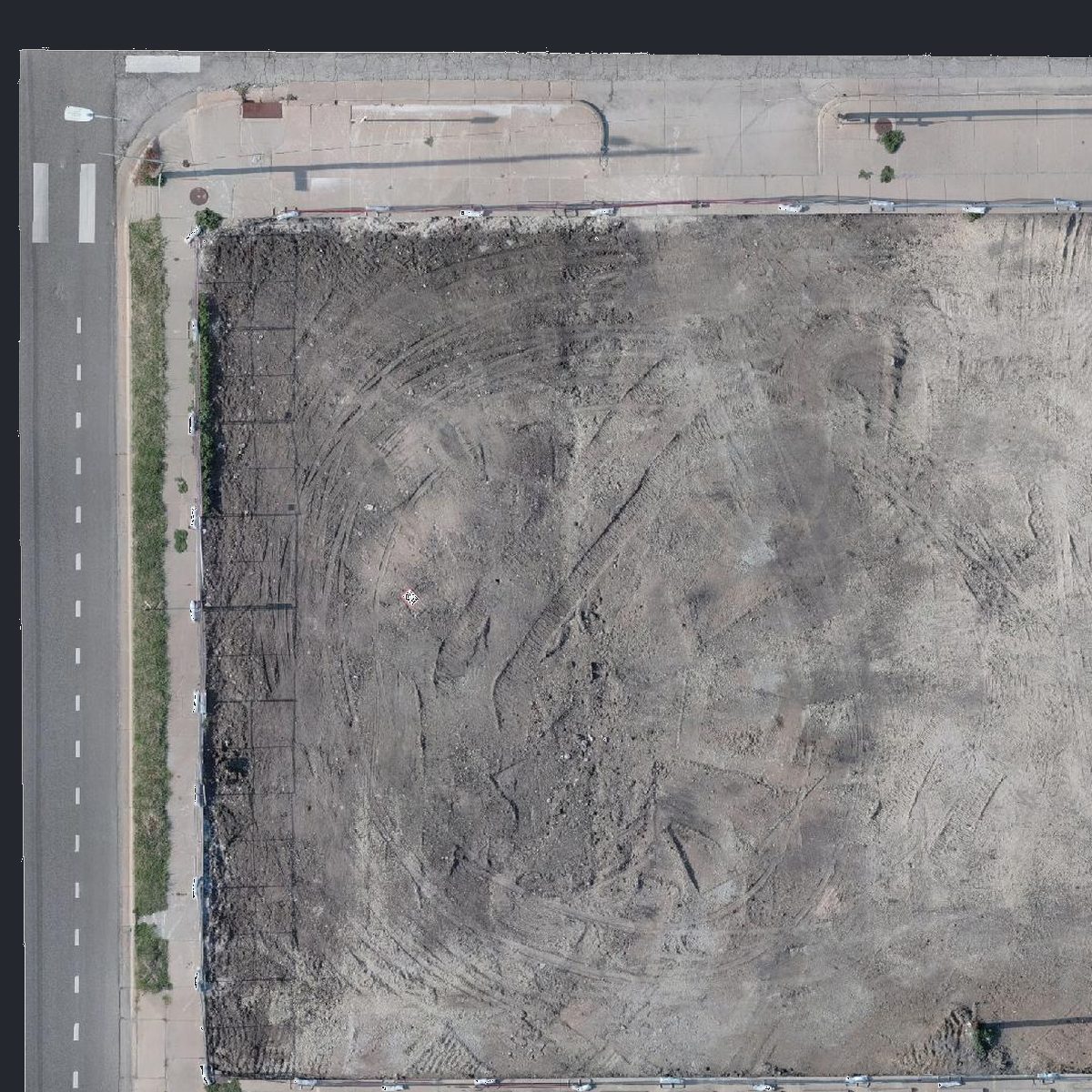
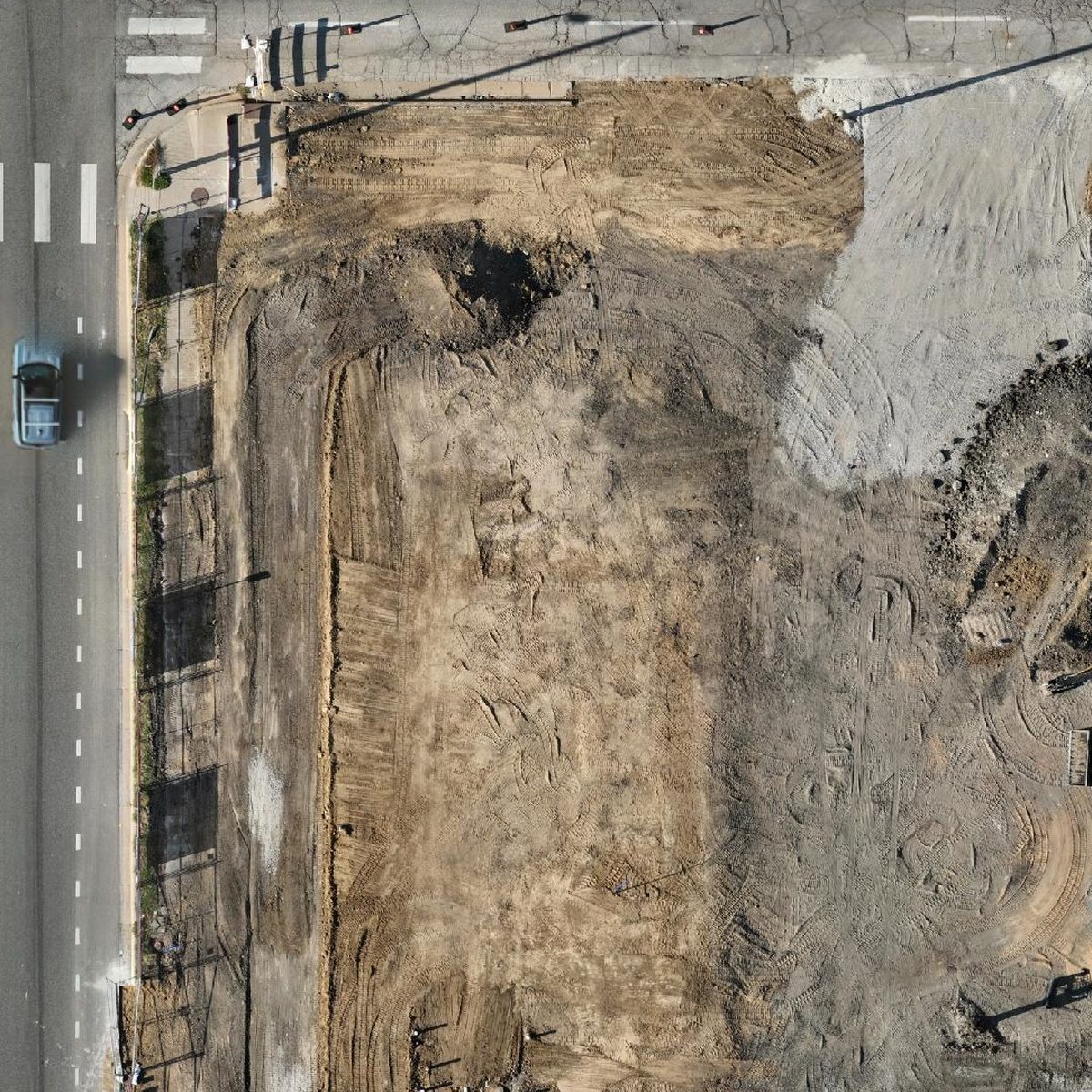
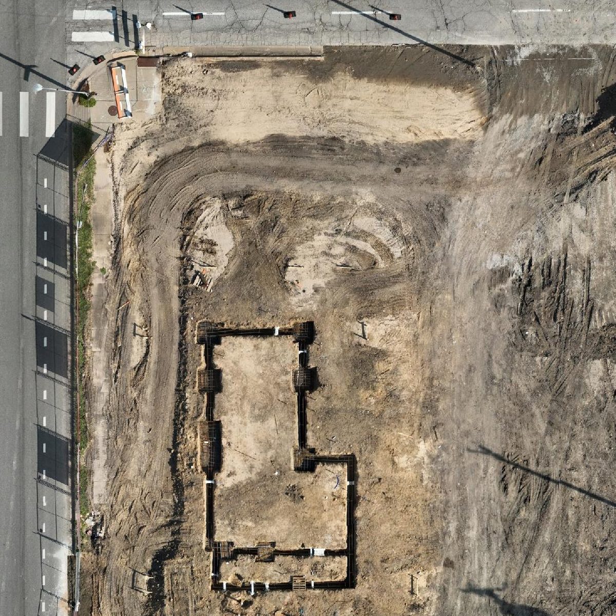
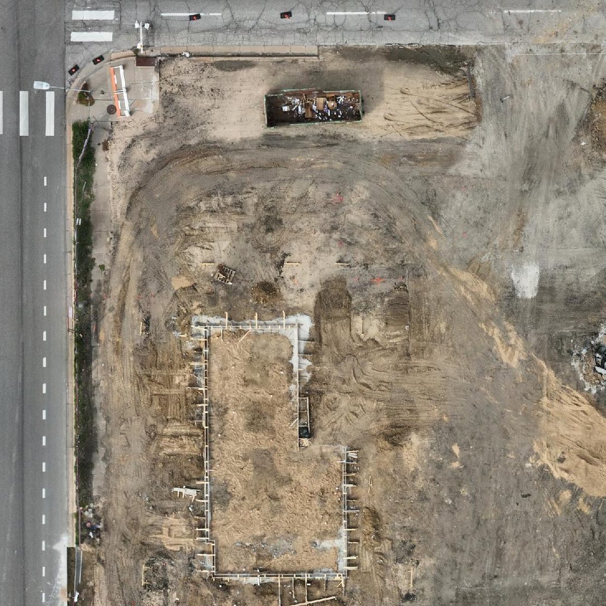
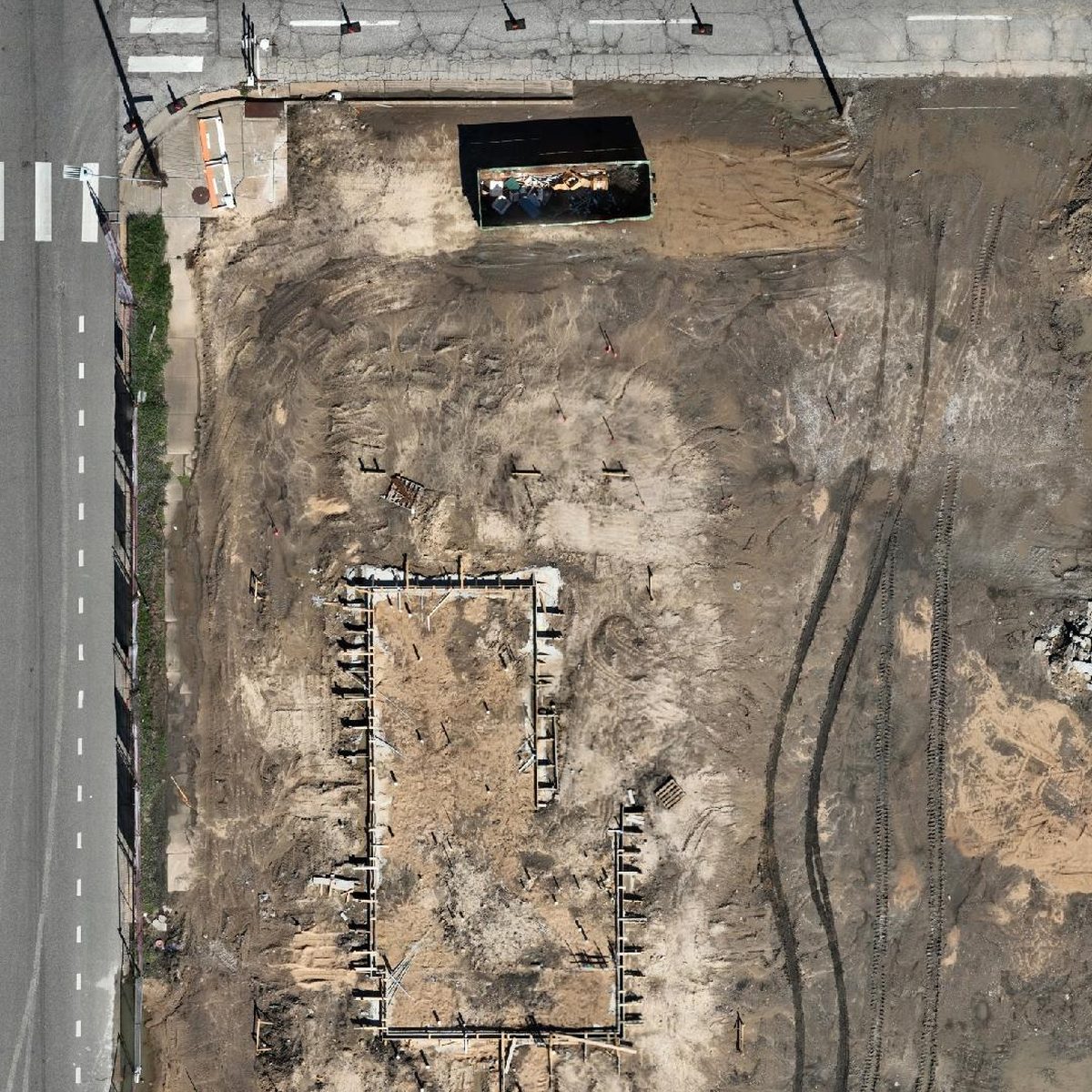
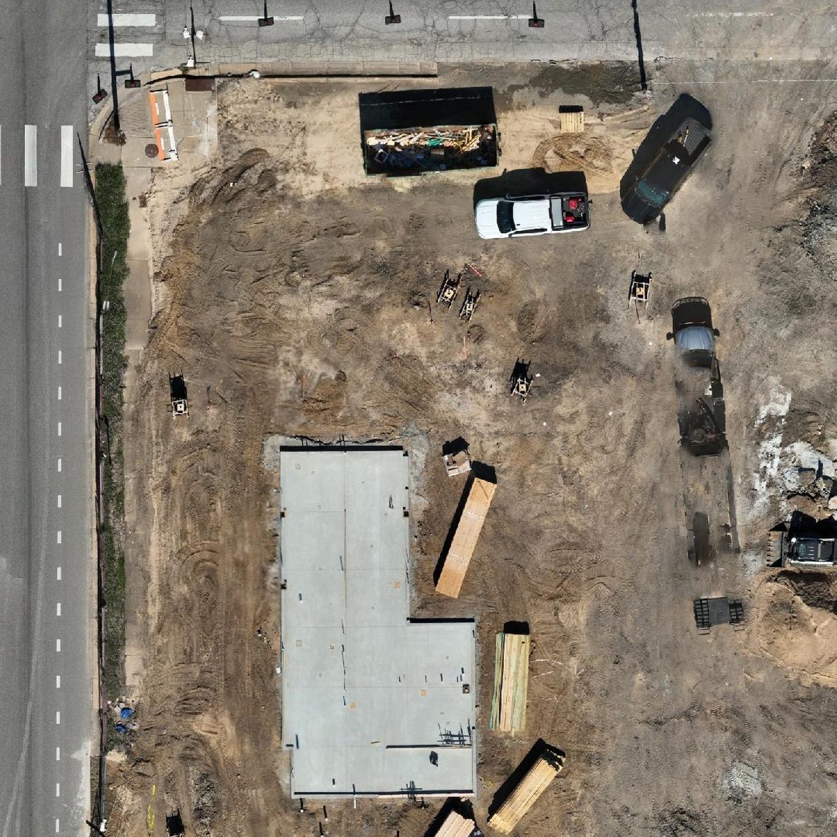
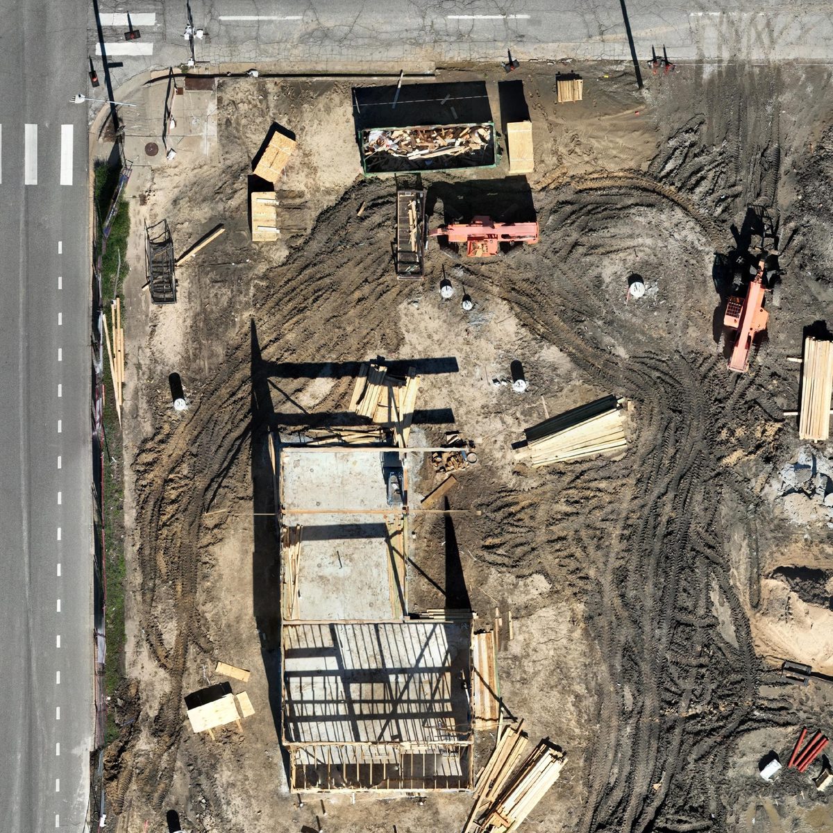

The builder reviews every date in a private client portal and can place any two flights side by side.
Shared with the builder's permission.
Interactive 3D
Spin a real site in 3D.
Real models from real flights. They open directly in your browser with no login or software to install, and run full screen on a phone.
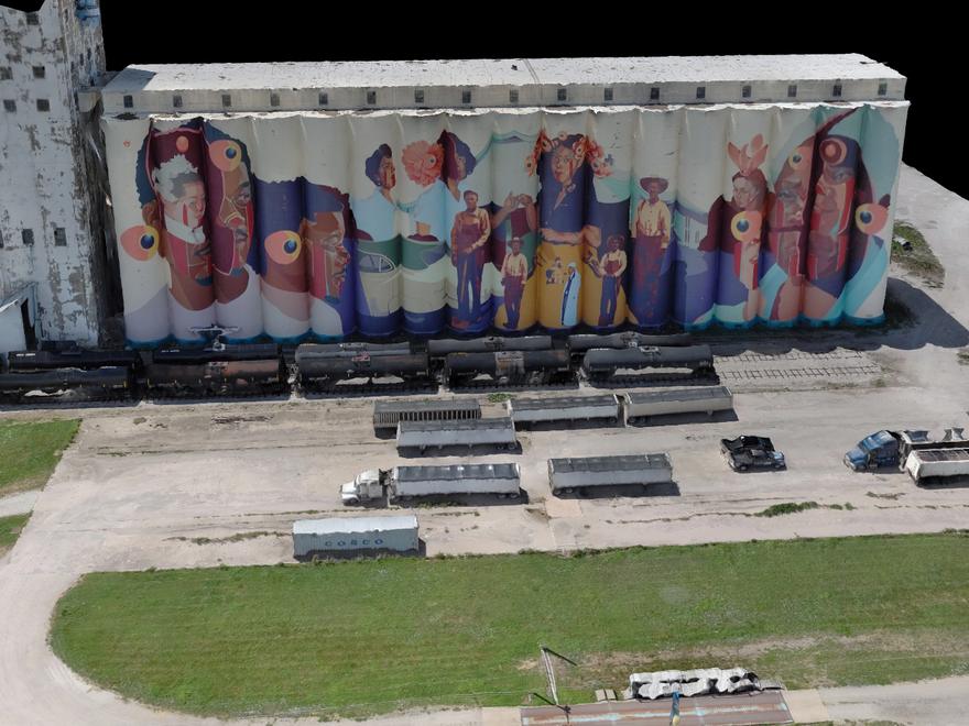 Interactive 3DBeachner Grain MuralWichita · July 2026. The world-record mural “El Sueño Original,” from every side.Open in 3D
 Interactive 3DKeeper of the PlainsWichita · October 2026. The statue, the rock base and both bridges.Open in 3D
 Interactive 3DGoddard Sports ComplexGoddard · August 2026Open in 3D
Guess the spot
Kansas, from straight above.
Each image is a single map assembled from hundreds of overlapping drone photos and aligned to real-world coordinates. See how many you recognize, then open one and zoom in.
Places shown are public landmarks and project sites we have flown. Appearing here does not mean the owner is a client of High Ground Aerial or endorses us.
These are reduced copies for the web. Client deliverables carry many times the detail, down to a fraction of an inch per pixel.
360° aerial
Stand 300 feet in the air.
Drag to look in any direction. Switch between downtown Wichita and a new development on the edge of town.
Services
Five core services cover most projects. If yours is not listed, call us. If it can be seen from the air, we can usually document it.
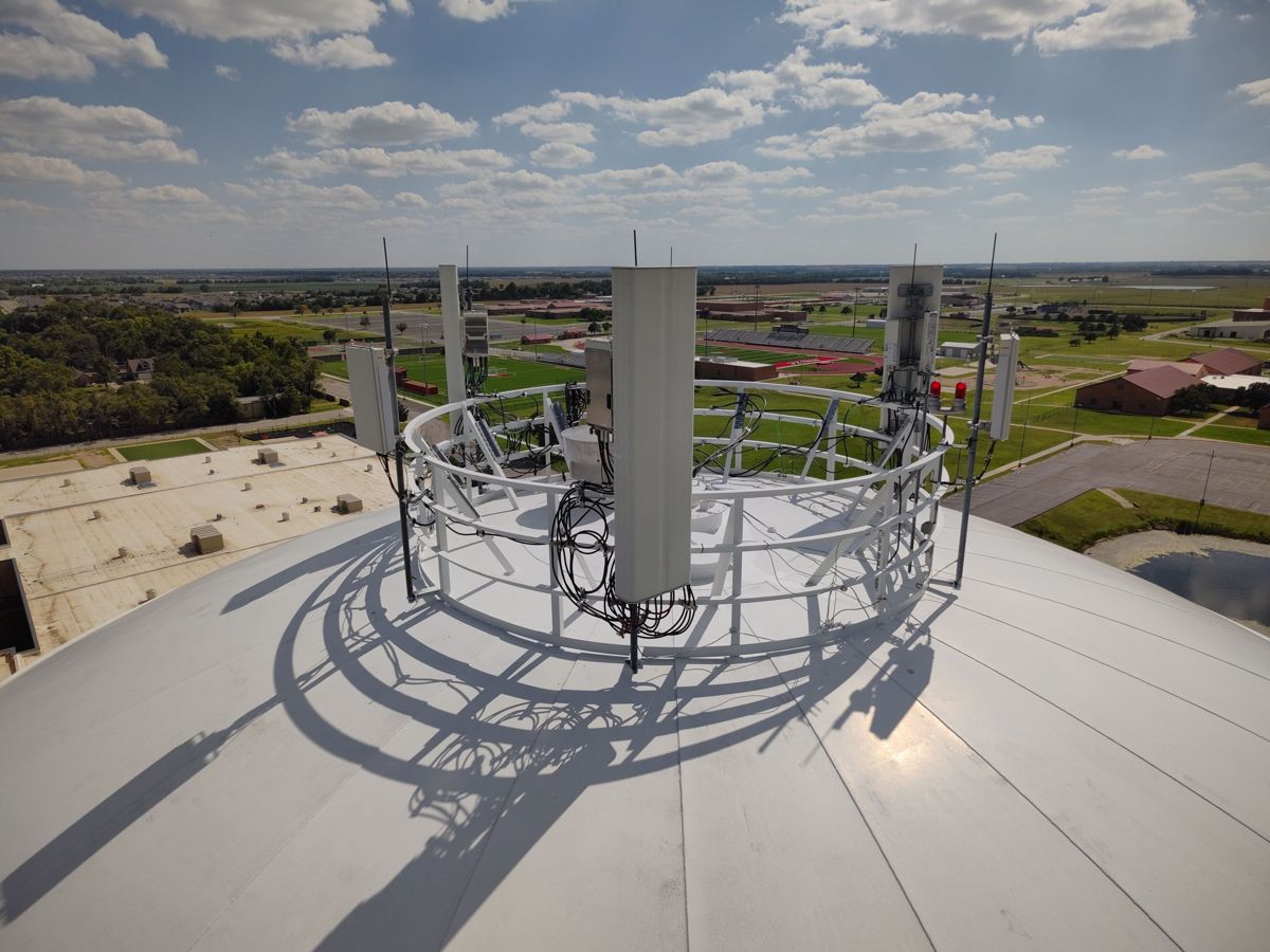
- InspectionsRoofs, towers, tanks and facades, documented up close
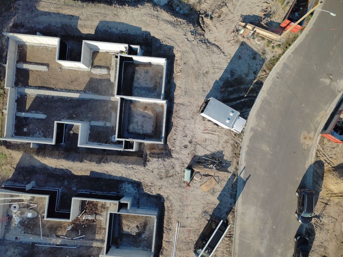
- Mapping & 3D modelsHigh-resolution site maps, 3D models and progress tracking
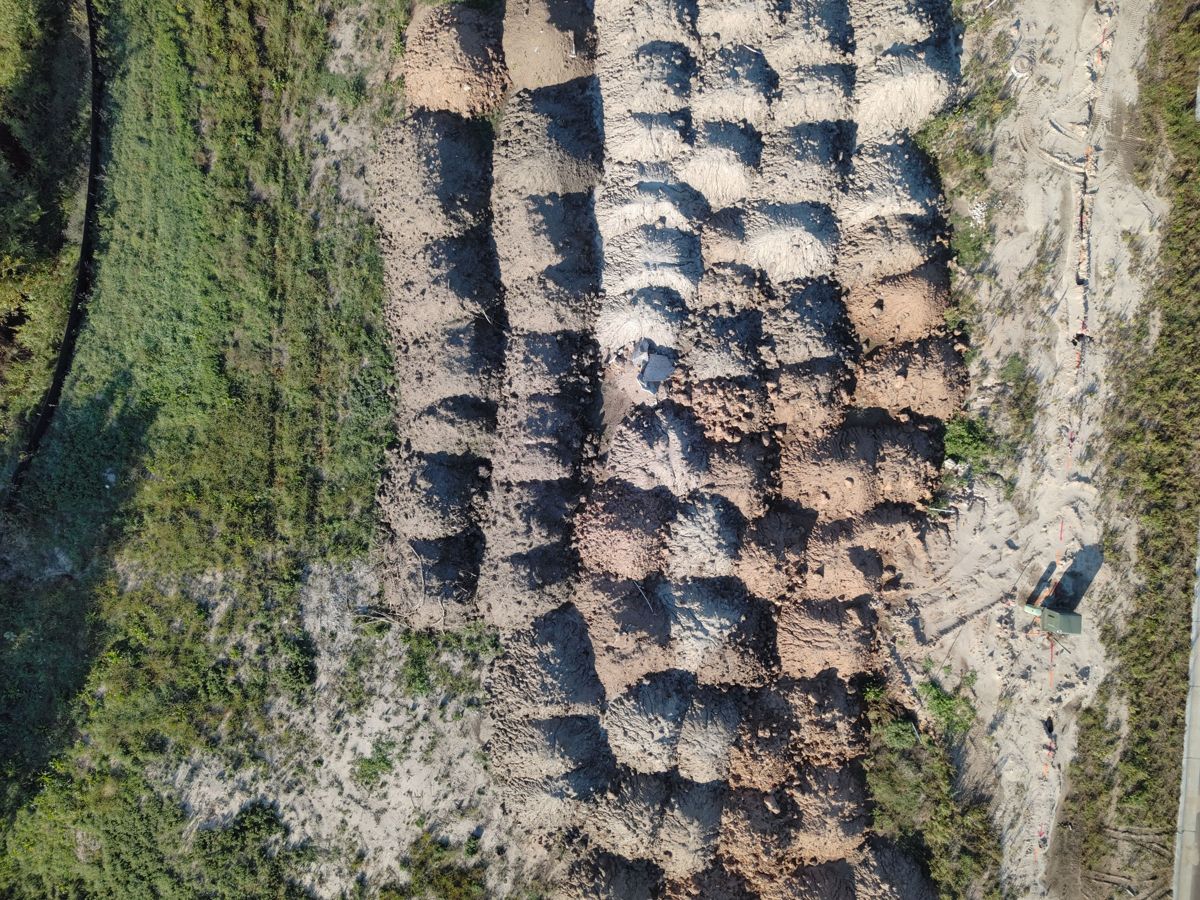
- StockpilesVolume estimates for every pile, in cubic yards
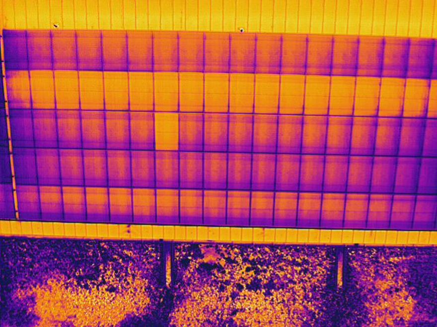
- ThermalRadiometric roof, solar and electrical surveys
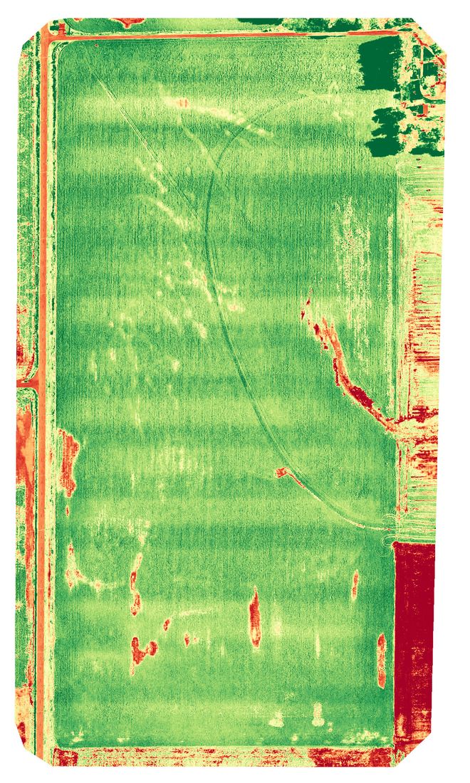
- AgricultureCrop health, stand counts and storm damage
How a project runs
Most projects are scoped in a single phone call.
Scope
Share the location, the information you need and your deadline. We confirm the airspace and send a fixed price.
Capture
Usually a single visit, with no need to pause work, close an area or put anyone on a roof or a lift.
Deliver
Maps, 3D models, photos and thermal imagery in a private client portal, typically within one to two business days, with files ready for your engineer or CAD team.
Built for public work
High Ground Aerial is registered in SAM.gov and flies an NDAA-compliant Skydio X10, the aircraft standard that many federal, state and municipal projects call for. Government projects are flown only on NDAA-compliant aircraft.
- Legal entity
- AJA Ventures LLC dba High Ground Aerial
- UEI
- KHLXZH1G2UM3
- CAGE
- 1A4P1
- Primary NAICS
- 541370 Surveying & Mapping
- Aircraft
- Skydio X10, NDAA-compliant
Common questions
What does a drone service cost in Wichita, Kansas?
Every job is different, so each one is priced for the site and what you need. Our pricing is competitive, and you get one fixed price in writing before we fly. Outline your site in Plan a Project and we will send your price, usually within one business day.
What can a drone do for my business?
A drone captures your whole roof, job site or field in one short visit: detailed maps, 3D models you can spin, close-up photos and heat views that show moisture or hot spots. Your team sees everything without ladders, lifts or walking the site.
Is High Ground Aerial FAA certified and insured?
Yes. Every flight is flown by an FAA Part 107 certificated remote pilot, and the company carries commercial drone liability insurance. Our primary aircraft is the NDAA-compliant, American-made Skydio X10, and government projects are flown only on NDAA-compliant aircraft.
Where does High Ground Aerial fly?
We are based in Wichita, Kansas and fly across Sedgwick, Butler, Harvey, Reno and Sumner counties and statewide.
How fast will I get my results?
Most maps, photo reports and 3D models are delivered online within one to two business days of the flight. Nothing to install; you open a link on your phone or computer.
Do you need permission to fly near the airport?
We handle it. Standard FAA airspace approvals near Wichita airports are included with your service.